Drones, or RPAS (Remotely Piloted Aircraft Systems), are aircraft without onboard pilots, crews, or passengers. Initially developed for military use, they have become extremely popular over the last decade.
New drone models and applications are consistently being developed and advertised for photography, stunt racing, and surveillance.
Drones in Environmental Data Collection
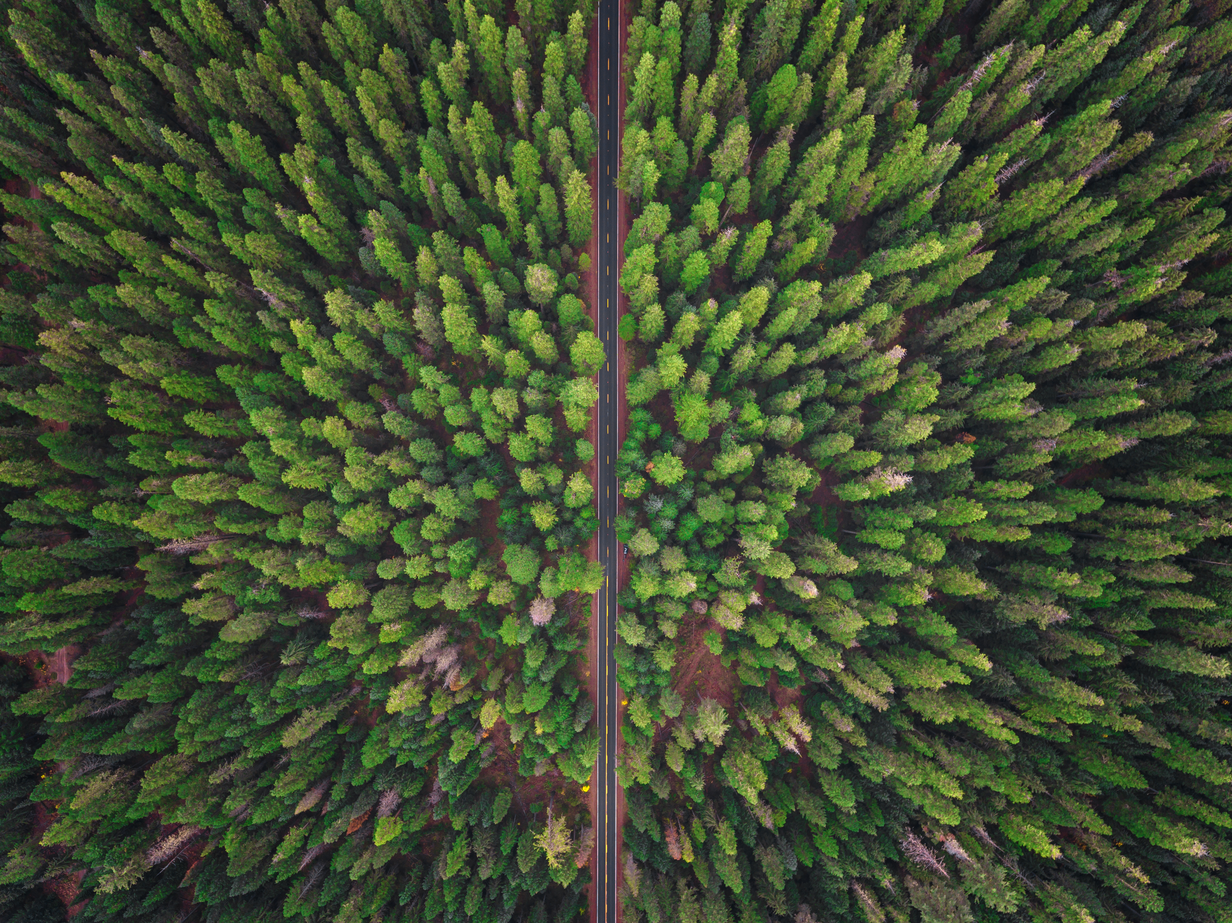
Drones have recently become more common for collecting data for various environmental uses. Drones can be used in industrial settings to monitor site conditions, in wildlife research to fly distribution surveys, for geospatial mapping by collecting imagery for land cover classification, and in many other scenarios where a bird's-eye view is needed.
Efficiency and Cost-Effectiveness
The use of drones in environmental monitoring is characterized by its speed, cost-effectiveness and the ability to generate high-quality imagery and data. Often, the data collected can be utilized without extensive processing, making drones a practical choice for environmental projects.
Drones also carry a lower safety risk to those collecting data, mitigating potential hazards associated with traditional methods.
Environmental Benefits of Drone Usage
Drones offer distinct advantages, contributing to their growing popularity in environmental monitoring efforts. These benefits include:
- Lower safety risks
- Reduced potential for spreading invasive species
- Minimal impact on sensitive natural areas
- Significantly lower greenhouse gas emissions compared to traditional aerial data collection
Silvacom's Drone Services
Transport Canada has different licensing and permitting requirements for drone types, project types, and locations. Our team maintains several licensed and insured drone pilots to help industry with any drone needs, including but not limited to:
- Establishment surveys and competition assessments for forest management
- Vegetation regrowth in remediation and restoration projects
- Wildfire and flood mapping
- Erosion and slope stability monitoring
Our inventory boasts an array of drones, encompassing both compact and mid-sized models, each equipped for missions of varying durations – from brief to extended flights. Our Silvacom team uses drones for environmental projects, training and education, and collecting information.
Explore Drone Services with Silvacom
If your company is interested in collecting aerial imagery, completing drone surveys, or building drone capacity within your organization, please visit www.silvacom.com/drone-services for more information, and contact our team to find out how we can help!


