Are you a student interested in forestry, agriculture, environmental sciences, or a related field? Maybe you’ve heard about Remote Sensing and Photo Interpretation, but you’re not quite sure if it’s the right fit for you. This blog is intended to help you find out more about this career choice and decide if it is something you might be interested in.
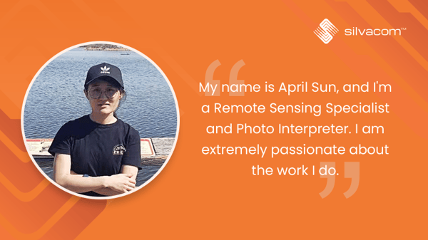 My name is April Sun, and I’m a Remote Sensing Specialist and Photo Interpreter. I’ve been working at Silvacom since December 2016, and I am extremely passionate about the work I do. I obtained my BSc in Biology from Inner Mongolia Agriculture University in 2014. I graduated from NAIT forestry in 2017, and I’m currently doing my advanced diploma in GIS at Vancouver Island University while I continue my career with Silvacom.
Below, I’ll be sharing my experience as a Remote Sensing Specialist and Photo Interpreter, as well as three signs that this career path might be the right fit for you!
What is Remote Sensing and Photo Interpretation?
Before we get any further – what exactly IS Remote Sensing and Photo Interpretation?
Remote Sensing is the science of obtaining information about objects or areas without making any physical contact. It’s used in a wide variety of disciplines in thousands of different use cases including geology, hydrology, ecology, geography, and inland surveying, as well as applications in military, commercial, and humanitarian fields. At Silvacom, we use remote sensing to detect the physical characteristics in a specific area of interest for our clients.
Photo interpretation is a process of analysis, which generates systematic information for planning or analysis using softcopy based on experience, existing data (DIDs, phase 3, old inventory, wildfire, harvest records, fieldwork), and project specification. At Silvacom, we mainly use aircraft imagery for photo interpretation. This information is then used in projects such as Forest Vegetation Inventory, cutblock updates, cutblock RSA stratification, wetland inventory, and hydrology inventory.
Sound interesting? Here are three signs that a career in remote sensing and photo interpretation is the right fit for you!
Sign 1: You are interested in natural sciences
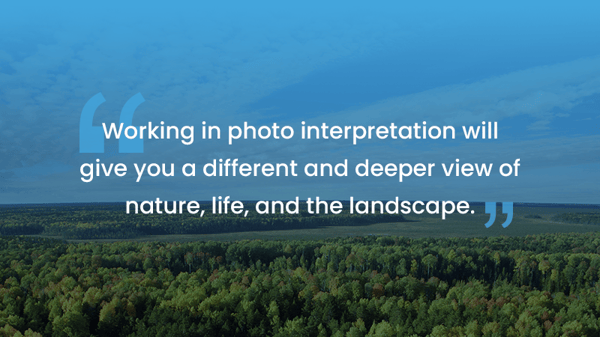 If you find yourself drawn to the environment or natural sciences, this is a sign that photo interpretation could be a great career choice for you! Working in photo interpretation will give you a different and deeper view of nature, life, and the landscape.
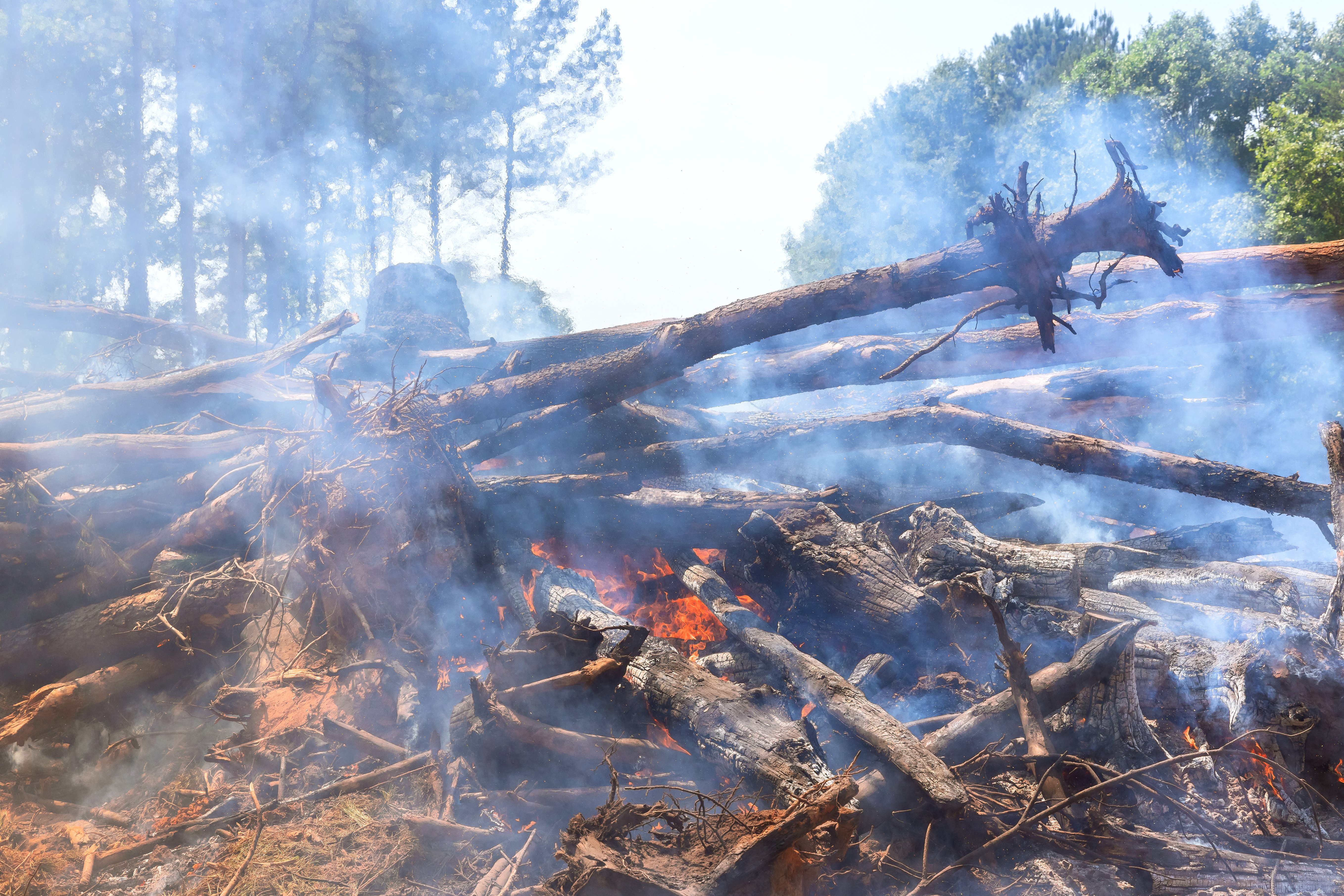
For example, in my position at Silvacom, we use photo interpretation to assess tree growth. There are multiple factors that could affect tree growth including soil moisture, topographic location, competition, wildfire, and insects. To better assist our judgment, we need to have an interest in biology, ecology, landform, growing pattern, insect pathology, and wildfire impact. We also need to assess the compound influence under multiple factors.
In order to pursue a career in this field, you must have an undergraduate degree or diploma in forestry, agriculture, environmental science, ecology, environmental planning, or another related field. You must also be eligible to become a registered RPF or RPFT. Being intrinsically drawn to these natural sciences fields will make these studies much more interesting and you will be more motivated to learn more!
Sign 2: You love problem-solving and continuous learning
Being a photo interpreter is a very thought-intensive job, and we are constantly making decisions while we work. Though this work can be very intense and challenging, it is also very satisfying. I am constantly competing with myself to achieve better work quality and production.
My team members and my manager are also constantly teaching me new skills so that I can consistently provide top-tier products for our clients. Remote sensing technology and software are constantly developing, so continuing education is necessary. Currently, we mainly use aircraft imagery in our work. This satellite imagery can provide better resolution at a lower cost, but we also prepare ourselves for technological innovations at the same time. We also use Esri software for spatial mapping. By practising our skills in GIS, we can improve our work efficiency.
This career is never boring, and I am constantly learning and evolving with the field and technology. Seeing my growth over the years is truly rewarding.
Sign 3: You enjoy a balance of individual work and teamwork
Being a photo interpreter is a very individual-oriented role. Ninety per cent of the time, we work by ourselves on delineation, interpretation, and correction. The other 10 per cent of the time, we work as a group to do our peer quality checks. This gives us the chance to learn from each other and creates a better product for our clients. Our team members are always there for each other to provide opinions and keep a consistent production of high-quality work.
People sometimes have the misconception that our team works in a silo and we do not cooperate with other teams in the company, but this is not the case. For example, the work that we do in vegetation inventory is the basis of forest planning and environmental assessment. The forestry team needs our inventory data for their Forest Management Planning projects, and we collaborate with the Energy & Environment team for seismic line projects. Silvacom FMS adds our work into their Forest Management System to provide a comprehensive cloud-based spatial view, and the GIS team assists us to improve our work quality through capturing spatial data or attributing errors and preparing deliverables.
Overall, though most of the work we do is done individually, this role still requires collaboration with our team members as well as with team members from across all business units in the company.
Why Silvacom?
 Being a Remote Sensing Specialist and Photo Interpreter at Silvacom has been a very challenging but rewarding role. Working with natural sciences, constantly learning and growing, and working with my talented team members has been a truly rewarding experience.
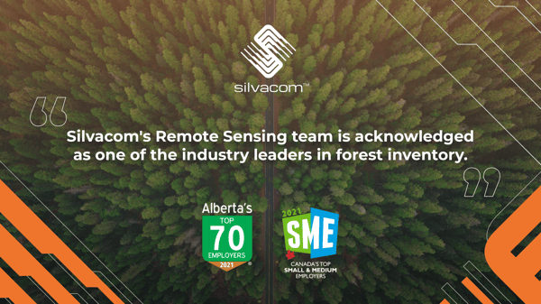
Silvacom’s Remote Sensing team is acknowledged as one of the industry leaders in forest inventory. Our team has finished multi-million hectares of vegetation inventory projects while maintaining an excellent level in the provincial approval rate. Nothing makes me prouder than being part of a wonderful team.
Additionally, Silvacom has been named one of Canada’s Top 100 Small and Medium Employers (SMEs) and one of Alberta’s Top Employers for five years now! We were awarded these titles because of Silvacom’s commitment to continuous learning, and its strong corporate culture. I am proud to be a part of an innovative work environment that delivers world-class solutions to our clients
Do you want to join our team? If Remote Sensing and Photo Interpretation sounds like the right fit for you, check out our careers page to apply today! We are always looking for photo interpreters. Even if there isn’t an active job posting currently, please send your resume to Rick Reid at rick.reid@silvacom.com. We look forward to hearing from you!

.png)