Alberta's sub-regional plans (SRPs) are rapidly reshaping how industry manages linear footprint across the province.
For pipeline operators, what was once largely a vegetation-control or reclamation issue is becoming a long-term strategic obligation tied to landscape restoration, caribou habitat recovery, and cumulative-effects management. As SRPs move from planning to implementation, companies face a new regulatory reality that will shape asset management decisions for decades.
The Upper Smoky Sub-Regional Plan is already in force and previews what industry can expect across other planning regions. Current draft plans consistently include requirements related to pipeline habitat restoration.
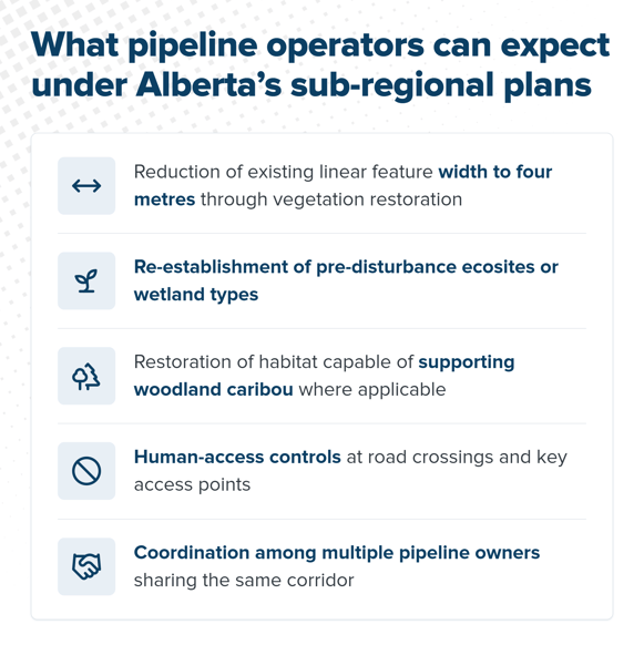
Among the most significant enacted or proposed requirements are:
- Reduction of existing linear feature width to four metres through vegetation restoration.
- Re-establishment of pre-disturbance ecosites or wetland types.
- Restoration of habitat capable of supporting woodland caribou, where applicable.
- Human-access controls at road crossings and key access points.
- Coordination among multiple pipeline owners sharing the same corridor.
What do Alberta's sub-regional plans mean for pipeline operators?
Sub-regional plans represent one of the most significant shifts in land stewardship and linear footprint management in Alberta. Many operators manage thousands of kilometres of linear disturbance across multiple planning regions.
The challenge is not simply planting trees; it is addressing site-specific vegetation conditions, landscape-level tactical efficiencies, and key stakeholder needs. As additional plans advance through consultation and implementation, pipeline operators will need to move beyond compliance-focused thinking to integrated restoration strategies that consider ecology, operations, Indigenous participation, and long-term asset management.
How Silvacom approaches pipeline habitat restoration
Since 1983, we've worked in natural resource management, and our team has spent more than a decade restoring legacy seismic lines in Alberta.
For pipeline habitat restoration programs, Silvacom supports operators with data-driven solutions from initial planning to final monitoring, pairing field experience with geospatial technology at every stage.
We partner with Indigenous communities and stakeholders from the start and handle permitting throughout, so one team carries the project from start to finish.
As an Esri Gold Partner, we manage everything in a single GIS dataset, so operators can see where each segment stands at any point in the program.
Explore our pipeline habitat restoration services.